


Brown County, Kansas
2019
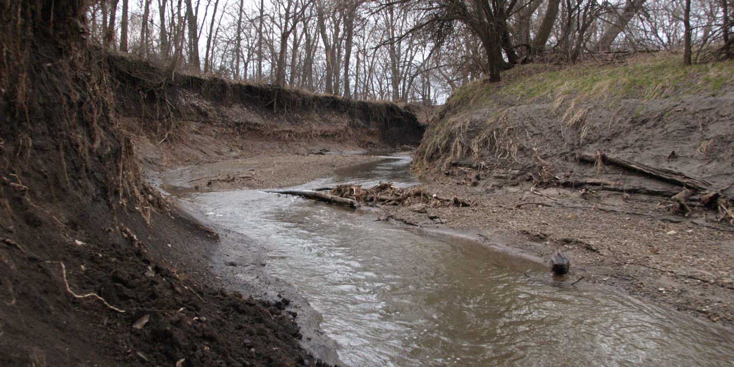
WRS was contracted through an IDIQ/MATOC vehicle with USDA's Natural Resources Conservation Service to complete an assessment, preliminary design, and cost estimate to stabilize two sections of an unnamed tributary to the Delaware River and one section of Plum Creek in rural Brown County, Kansas.
Streambank erosion into the properties bordering the proposed project sites has advanced significantly over the last several years, threatening to compromise, in one case, a 3.5-acre private sanitary sewage facility and its outlet owned by the Prairie Band Potawatomie Nation and, in the other, agricultural land. NRCS’s priority was to focus the 850 to 1,100 linear feet of streambank stabilization on bioengineering techniques, particularly those maximizing ecological function while providing for stable streambanks.
After receiving survey data and incorporating supplementary data, WRS produced a digital elevation model around each location to use in the RAS Mapper mapping option of the U.S. Army Corps of Engineers’ Hydrologic Engineering Center River Analysis System (HEC-RAS), creating cross-sections for existing channel conditions. WRS engineers conducted a watershed and geomorphic assessment, including a bankful verification, following the NRCS’s natural channel design review checklist. They calculated the hydrology using two methods, the SCS method using the NRCS’ WinTR-55 computer modeling program for small watersheds, and the regression curve method using the U.S. Geology Service’s Streamstats, taking into consideration present and future land use and impervious area as identified from the National Land Cover Database.
Both sets of hydrologic data were then incorporated into HEC-RAS to calculate velocity, shear stress, stream power and other hydraulic parameters over the river cross-section and to analyze the flood water surface elevations, both for existing conditions and for conditions following the proposed design improvements. For proposed conditions, both a centerline 12-foot channel realignment and channel restoration were evaluated.
WRS designed several toe-protection measures for each site, using a 4-foot, 6-foot and 8-foot flood bench. Protection alternatives include longitudinal peaked stone toe protection (LPSTP), rootwads, and other toe protections, each of which conform to all NRCS technical guidelines. A proposed grade control was also included in the proposed condition at the upstream and downstream of the system to help control the velocity, shear stress, and stream power. Each site’s proposed changes were modeled for feasibility in alleviating erosion risk, and resulting conceptual designs have been submitted to NRCS for review.
WRS completed conceptual designs, preliminary drawings, and cost estimates for each alternative solution for both project sites, and reported the results and recommendations to the NRCS. WRS worked with the sponsor at its request to adjust some preliminary design to meet NRCS programatic points, and then followed up with adjustments to the cost opinion to incorporate local contractor capabilities and material availability.
The design and report was delivered on time in July 2019, within the 15-week contracted period of performance. WRS closed out the project 2% under the contracted budget of $79,480.